Things to do
Nature in Barro Alto: Cerrado, ridges and rivers
A territory entirely within the Cerrado, crossed by ridges and rivers of the Tocantins basin.
Updated on October 4, 2026 ✓ Information checked on October 4, 2026 adapted from the Portuguese original
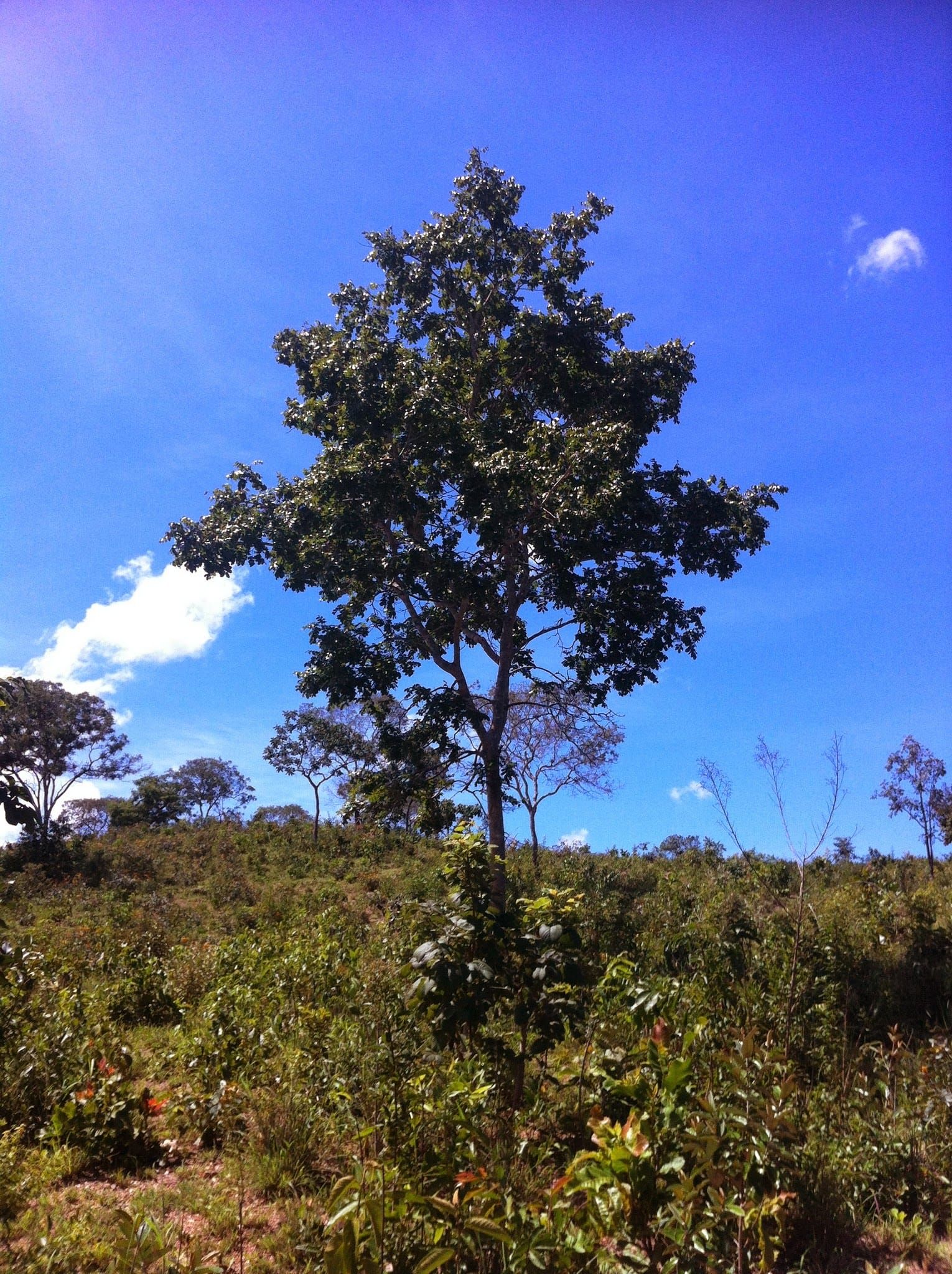
The whole of Barro Alto’s territory lies in the Cerrado (the Brazilian savanna), according to IBGE. But it is not a uniform Cerrado: environmental studies of the region describe a mosaic of savanna, forest formations, pasture and cropland, with ridges and many streams.
Ridges
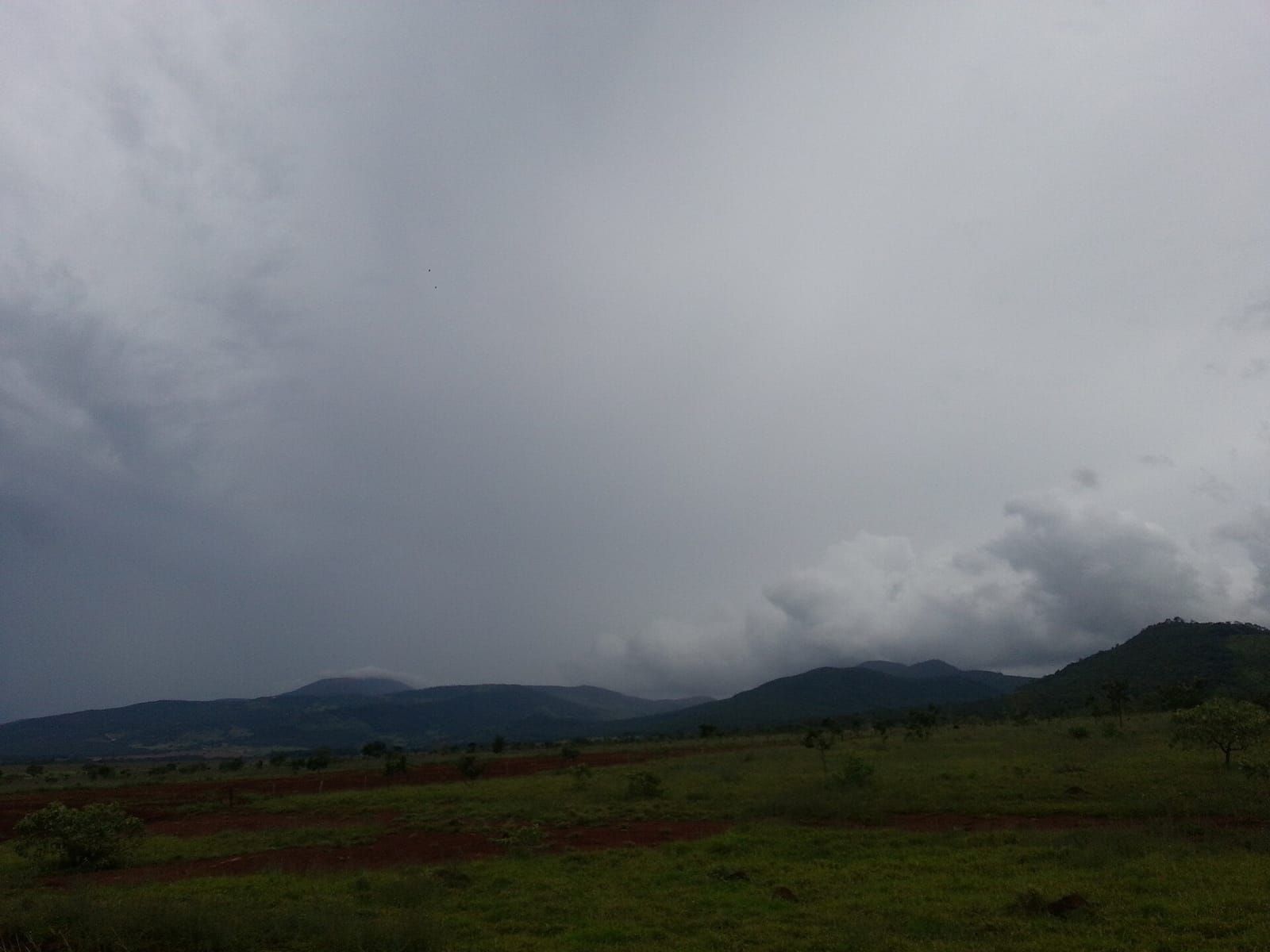
The municipality’s terrain is hilly. OpenStreetMap shows, within the territory, Serra do Passa Três, Serra da Laguna and Serra Santa Bárbara; in the mine area, studies mention Serra Grande, where local streams rise. The photo at the top of the geography guide shows this landscape of open country with ridges in the background well.
We found no official trails, developed viewpoints or protected areas open to visitors in the municipality. Many ridges are on private property: only enter with the landowner’s permission.
Rivers
Barro Alto lies in the upper Tocantins River sub-basin. According to the Anglo American environmental study (2020):
- the main rivers in the mine region are the rio das Almas and the rio dos Patos, both tributaries of the Maranhão River, which flows into the Tocantins;
- streams such as Ribeirão de Fora, Pedra de Fogo, Dois Córregos, Pouso Alegre, Gaiola and Barro Alto flow into the rio dos Patos.
To the north, the large Serra da Mesa Lake — formed by the dam on the Tocantins River — is the region’s main water landmark. See around Barro Alto.
Cerrado plants and wildlife
Along the region’s roads it is common to see ipê trees in bloom at the end of the dry season, pequi and baru trees, and buriti palms in the veredas (palm-lined marshy valleys), as well as red-legged seriemas, rheas, macaws and toucans. The area around the mine is classified as a conservation priority (“extremely high” priority, Ministry of the Environment ordinance of 2007), because it lies in a transition zone between habitats.
Safety in the countryside
- Dry season (July to October): high risk of wildfires. Do not light fires or throw away cigarette butts.
- Rainy season (November to March): streams rise quickly; do not cross running water by car or on foot.
- Venomous animals: wear closed shoes and long trousers in scrubland.
- Private property: ask permission before entering farms, ridges and riverbanks.
Frequently asked questions
Is Barro Alto near Serra da Mesa Lake?
Yes, the town lies south of the large Serra da Mesa reservoir, and secondary sources list Barro Alto among the municipalities with land flooded by the lake. We have not yet confirmed this in a primary source from the power plant operator.
Keep reading
Keep reading
-
 Geography and climate of Barro Alto Where it is, what the terrain is like, where the rivers flow and how rainfall and temperature behave. Read guide
- Around Barro Alto: neighbouring towns and the region Goianésia, Uruaçu, Niquelândia, Serra da Mesa Lake and other places to combine with your trip. Read guide
- When to go to Barro Alto: climate and calendar Two clear seasons — rain in summer, drought in winter — and a short but lively local calendar. Read guide