Plan your visit
How to get to Barro Alto, Goiás: car and bus
Highways, approximate distances and the regulated bus lines that reach the town.
Updated on October 4, 2026 ✓ Information checked on October 4, 2026 adapted from the Portuguese original
Barro Alto lies in north-central Goiás, between Goianésia and Uruaçu, and you get there by road. The main links are the BR-080 federal highway, which passes through town, and the GO-080 state highway from Goianésia. The most convenient airports with commercial flights are usually Brasília and Goiânia.
Approximate driving distances
These distances were calculated by routing with OpenStreetMap data (OSRM) in October 2026. They are approximate: they vary with your starting point, route and roadworks.
| From | Approx. distance | Approx. time | Main route |
|---|---|---|---|
| Goiânia | ~245 km | ~3h10 | Anápolis, BR-414 and BR-080 |
| Brasília | ~200 km | ~2h50 | BR-080 (Padre Bernardo area) |
| Anápolis | ~185 km | ~2h20 | BR-414 and BR-080 |
| Goianésia | ~50 km | — | GO-080 and BR-080 |
| Uruaçu | ~63 km | — | BR-153 and BR-080 |
Detailed guides: from Brasília and from Goiânia.
By bus
AGR (Agência Goiana de Regulação) publishes the timetables of intercity lines. For Barro Alto it lists two lines run by Auto Viação Goianésia:
- Goiânia – Barro Alto (conventional line no. 01.053-00);
- Goianésia – Barro Alto (line no. 01.1071-00).
Timetables are in the files on the AGR page listed in the sources and may change — check before travelling. From Brasília, travellers usually take a bus to Goianésia or Goiânia and connect, or drive.
Arriving in town
- The urban area is small and easy to drive around. The centre has the Praça dos Três Poderes, home to the City Hall and the Municipal Council.
- The nickel plant is in the countryside, south-west of town, accessed via the GO-565 off the GO-080. If you are going there for work, follow the company’s access instructions.
- We found no official address for a bus terminal; ask the bus company where passengers board and alight.
Road tips
- Fill up before long stretches and carry water.
- In the rainy season (November to March), take extra care on dirt roads and in fog.
- Animals on the road are common in rural areas, especially at night.
- Emergencies on the road: 190 (Military Police), 192 (ambulance, SAMU) and 193 (Fire Brigade).
Frequently asked questions
How far is Barro Alto from Goiânia?
About 245 km by the route via Anápolis and the BR-080, according to a route calculation with OpenStreetMap data. Other sources quote 220 to 250 km depending on the route.
Is there a bus to Barro Alto?
Yes. AGR, the Goiás regulatory agency, lists Auto Viação Goianésia lines between Goiânia and Barro Alto and between Goianésia and Barro Alto. Timetables are published by AGR and may change.
Does Barro Alto have an airport?
We found no airport with commercial flights in town. Visitors usually fly into Brasília or Goiânia and continue by car or bus.
Keep reading
Keep reading
-
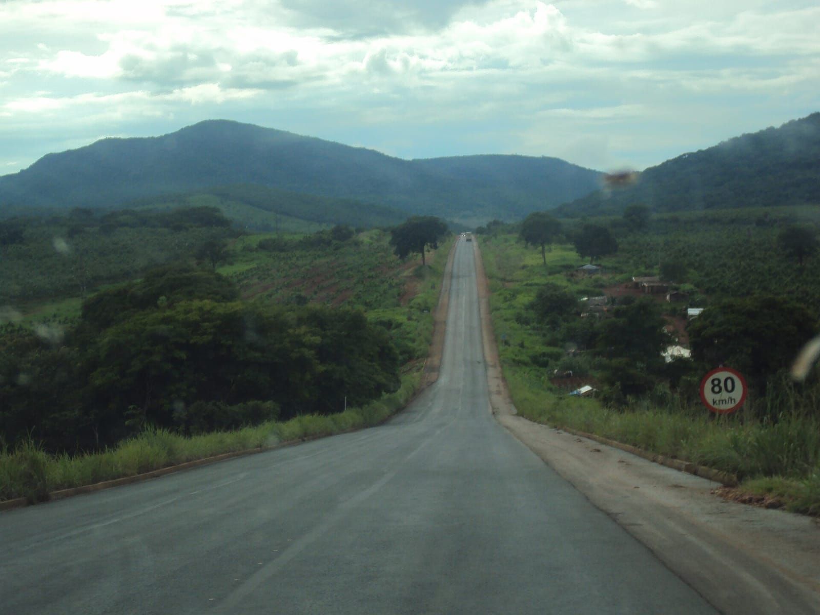 Goiânia to Barro Alto: route, distance and bus About 245 km on the most common route, or a direct bus on the line regulated by AGR. Read guide
- Brasília to Barro Alto: route and distance About 200 km on the BR-080 — Brazil's capital is the nearest airport for many visitors. Read guide
- From Anápolis to Barro Alto: route and distance About 185 km via the BR-414 and BR-080, the shortest route among the major reference cities. Read guide