The town
Geography and climate of Barro Alto
Where it is, what the terrain is like, where the rivers flow and how rainfall and temperature behave.
Updated on October 4, 2026 ✓ Information checked on October 4, 2026 adapted from the Portuguese original
Location
Barro Alto lies in north-central Goiás, south of Serra da Mesa Lake. The approximate coordinates of the town centre are 14°58′ S and 48°55′ W (OpenStreetMap).
IBGE regions (Brazil’s national statistics institute):
- intermediate geographic region: Porangatu – Uruaçu;
- immediate geographic region: Ceres – Rialma – Goianésia;
- old division: Centro Goiano meso-region, Ceres micro-region;
- urban network (REGIC 2018): part of the Goianésia population cluster, under the influence of the Goiânia metropolis.
Neighbouring municipalities (official IBGE boundaries): Goianésia, Niquelândia, Santa Rita do Novo Destino and Vila Propício.
Territory and terrain
- Area: 1,080.268 km², of which only about 3 km² is urbanised (IBGE, 2022).
- Altitude of the town: about 590 to 605 m, depending on the source.
- Terrain: ridges and hills cross the territory — OpenStreetMap shows Serra do Passa Três, Serra da Laguna and Serra Santa Bárbara; in the mine area, environmental studies mention Serra Grande.
- Localities: besides the town, Souzalândia (to the south) and Santo Antônio da Laguna (to the north) appear on the map.
Rivers
Barro Alto belongs to the upper Tocantins River sub-basin. The main rivers in the region are the Patos River (rio dos Patos) and the Almas River (rio das Almas), tributaries of the Maranhão River, which forms the Tocantins. The streams in the mine area (Ribeirão de Fora, Pedra de Fogo, Dois Córregos, Pouso Alegre, Gaiola and Barro Alto) flow into the rio dos Patos. More in nature in Barro Alto.
Biome
Cerrado (Brazilian savanna) across the whole territory (IBGE). The landscape is a mosaic of savanna, woodland, pasture and cropland.
Climate
According to the Anglo American environmental study for the mine area (2020), the climate is seasonal tropical, with:
- annual rainfall of about 1,700 mm;
- a rainy season from November to March, which concentrates 78% of the rain — December to February account for 50%;
- an extremely dry winter;
- an average annual temperature of 21.5 °C.
In practice: humid summers, with heavy afternoon showers, and winters with clear skies, dry air and cooler nights. (Seasons are those of the Southern Hemisphere: summer runs from December to March, winter from June to September.) See when to go.
Frequently asked questions
What is the altitude of Barro Alto?
About 590 to 605 metres in the town itself. Elevation models (SRTM) indicate around 590 m in the centre; other sources cite 605 m.
Is Barro Alto in northern or central Goiás?
North-central. Under IBGE's current division, it belongs to the Porangatu–Uruaçu intermediate region (northern Goiás) and the Ceres–Rialma–Goianésia immediate region; under the old division, it was in the Centro Goiano meso-region, Ceres micro-region.
Keep reading
Keep reading
-
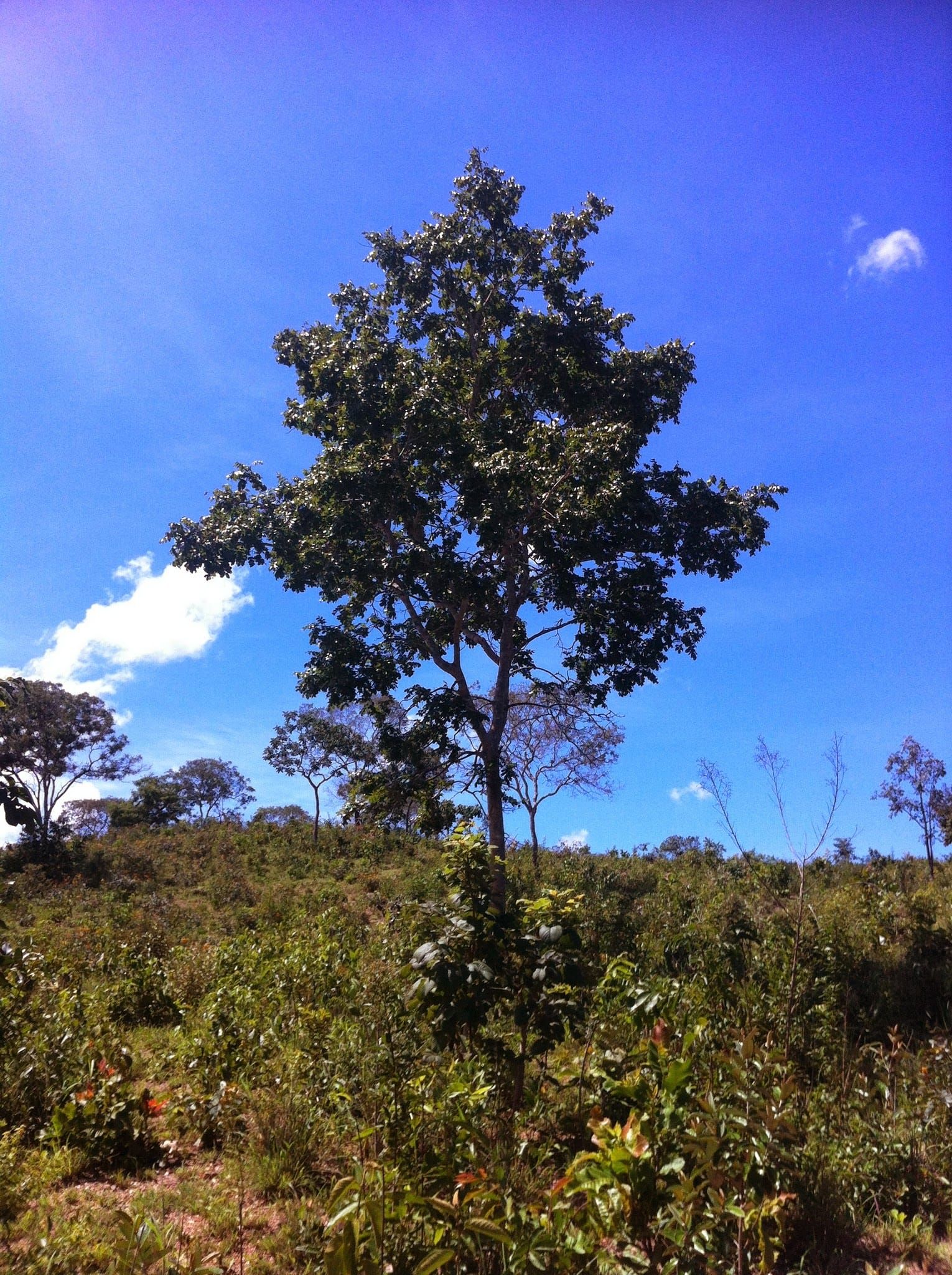 Nature in Barro Alto: Cerrado, ridges and rivers A territory entirely within the Cerrado, crossed by ridges and rivers of the Tocantins basin. Read guide
-
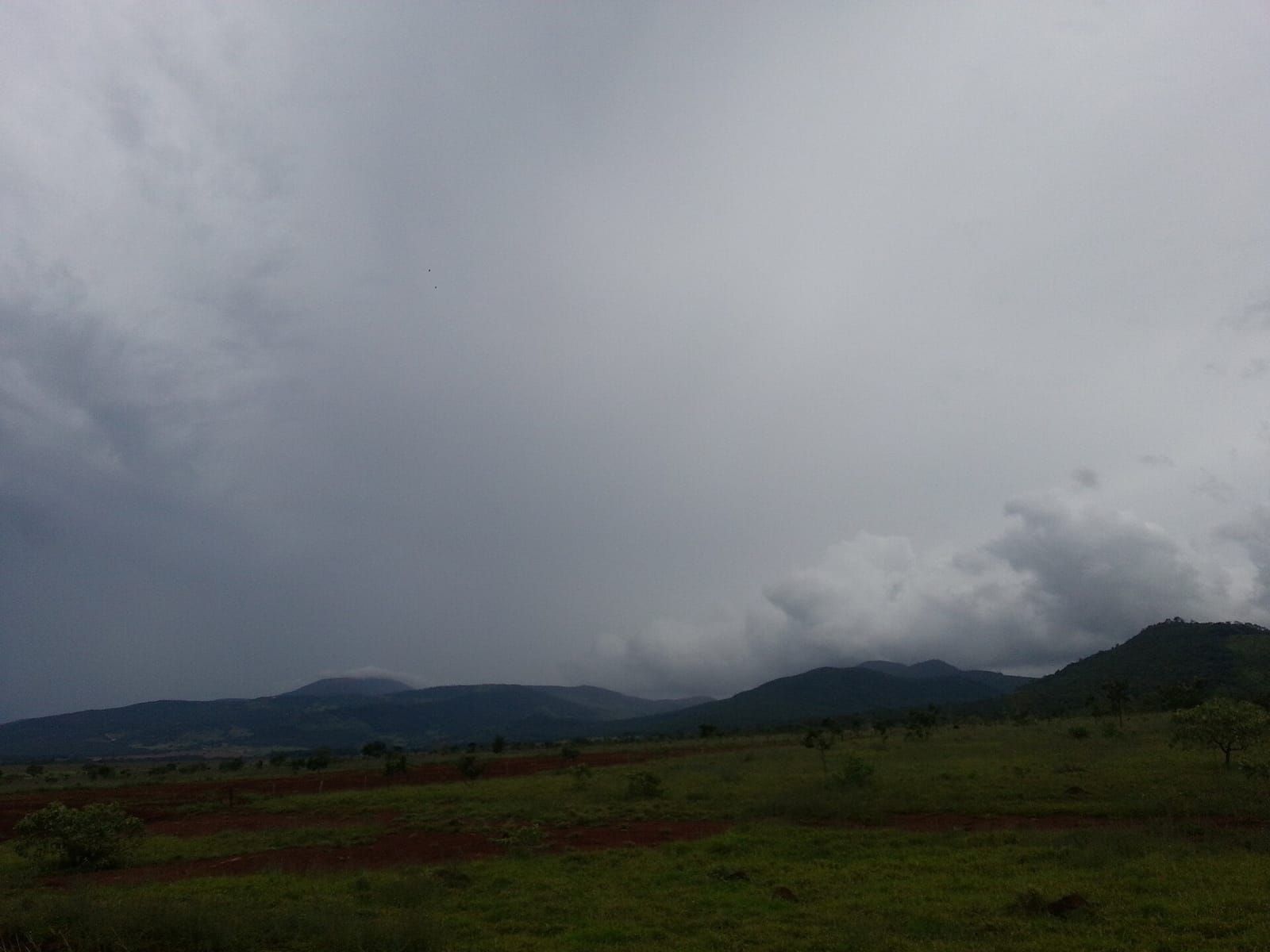 When to go to Barro Alto: climate and calendar Two clear seasons — rain in summer, drought in winter — and a short but lively local calendar. Read guide
- Barro Alto in numbers: IBGE data Population, territory, economy, education and sanitation — the municipality's official figures, with reference year. Read guide